At the School of Aerospace Cooperation, the 3rd edition of the Advanced Remote Sensing Course for NATO and PfP countries has concluded
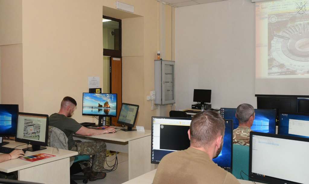
Ten participants from England, Hungary, Lithuania, Malta, Poland and Bulgaria have completed the third edition of the’Advanced Remote Sensing Course (ARS), which began on 5 June and is aimed at providing the knowledge and skills for drafting operational analysis reports, aimed at the recognition and description of military and civilian targets, using digital images from various airborne and satellite sensors.
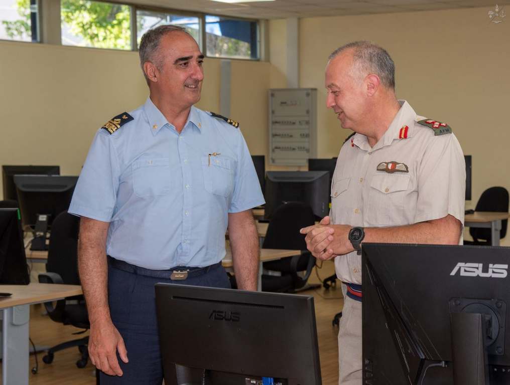
At the course graduation ceremony, as well as the Brigadier General Glauco Luigi Mora, Commander of the School of Aerial Cooperation, as well Brigadier General Clinton J O’Neill, Commander of the Armed Forces of Malta, who expressed full satisfaction and appreciation for the quality of the training delivered to their personnel.
The course ARS, certificate “NATO Approved” and included in the’Education and Training Opportunities Catalogue (ETOC) of the ACT (Allied Command Transformationbased in Norfolk, Virginia (USA), is conducted in English and designed, in-house, from the Remote Sensing Courses Command of the Interforce Institute specifically for NATO and PfP countries (Partnership for PeaceThis constitutes the second training step in the remote sensing image analyst training cycle available to allied and friendly nations, which began with Initial Remote Sensing (IRS), also certified. “NATO Approved” and published on ETOC.
Staff trained in this manner acquire the knowledge and operational analysis techniques for remote-sensed imagery, for the identification, description and analysis of purely military objectives (weapon systems and installations), as well as civilian ones which may have strategic value, such as terrain types and lines of communication, ports and airports, electricity generation plants, industrial installations, specific structures and urban areas.
Finally, the ARS course is a prerequisite for admission to the course Synthetic Aperture RADAR Imagery Interpretation (SAR II), specifically designed for the analysis of RADAR images from airborne or satellite sources.